
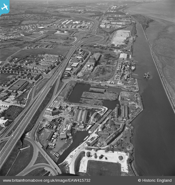
EAW415732 ENGLAND (1981). Mount Manisty, Ellesmere Port, 1981
© Copyright OpenStreetMap contributors and licensed by the OpenStreetMap Foundation. 2024. Cartography is licensed as CC BY-SA.
Nearby Images (21)
EAW415732

EAW043733

EAW043735

EAW043730

EAW043732

EAW043738

EAW043736

EPW027826

EAW043734

EPW027975

EAW043731

EPW027828

EAW043737

EPW009276

EPW009278

EPW009275

EPW009279

EPW009274

EPW009280

EPW009277

EPW014974

Details
| Title | [EAW415732] Mount Manisty, Ellesmere Port, 1981 |
| Reference | EAW415732 |
| Date | 13-April-1981 |
| Link | |
| Place name | ELLESMERE PORT |
| Parish | NON CIVIL PARISH |
| District | |
| Country | ENGLAND |
| Easting / Northing | 340402, 377271 |
| Longitude / Latitude | -2.8941325018879, 53.288775411387 |
| National Grid Reference | SJ404773 |
Pins
Be the first to add a comment to this image!


