
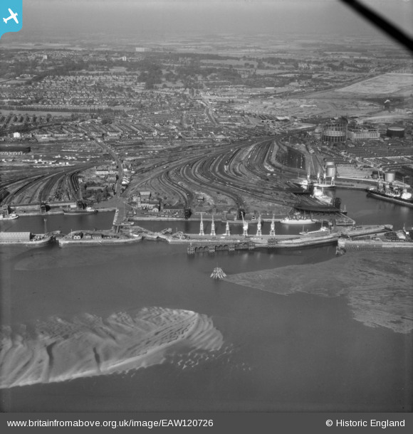
EAW120726 ENGLAND (1963). Garston, Liverpool, 1963
© Copyright OpenStreetMap contributors and licensed by the OpenStreetMap Foundation. 2024. Cartography is licensed as CC BY-SA.
Nearby Images (2)
EAW120726

EAW426196

Details
| Title | [EAW120726] Garston, Liverpool, 1963 |
| Reference | EAW120726 |
| Date | 14-September-1963 |
| Link | |
| Place name | GARSTON |
| Parish | NON CIVIL PARISH |
| District | |
| Country | ENGLAND |
| Easting / Northing | 339646, 384042 |
| Longitude / Latitude | -2.9067622519291, 53.349551726982 |
| National Grid Reference | SJ396840 |
Pins
 JethroBodineJr |
Thursday 30th of September 2021 05:28:07 PM | |
 Ginger79 |
Tuesday 17th of November 2020 05:31:08 PM |


