
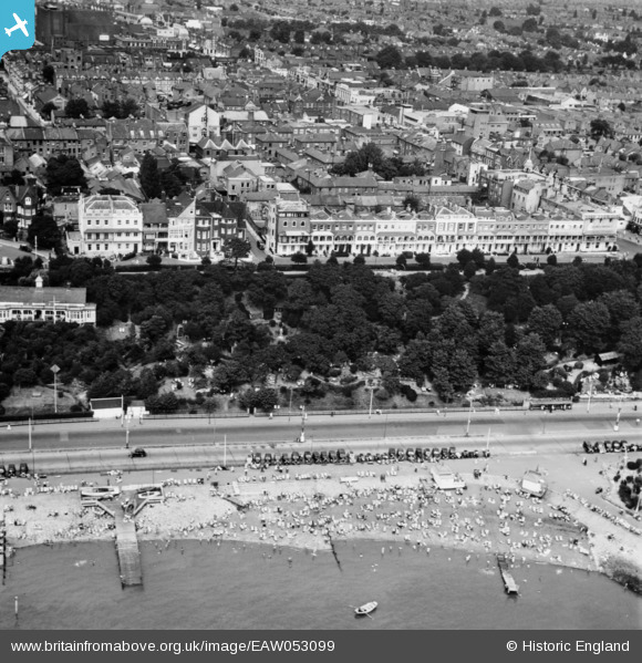
EAW053099 ENGLAND (1954). The Shrubbery and Royal Terrace, Southend-on-Sea, 1954
© Copyright OpenStreetMap contributors and licensed by the OpenStreetMap Foundation. 2024. Cartography is licensed as CC BY-SA.
Nearby Images (25)
EAW053099

EPW036722

EPW036984

EPW024896

EPW000448

EPW054675

EPW036724

EPW000556

EPW000441

EPW032893

EAW053087

EPW040967

EPW024892

EPW032894

EPW037008

EAW002198

EAW002200

EAW043703

EAW002202

EAW002199

EPW062739

EAW053089

EAW026907

EPW037020

EPW000551

Details
| Title | [EAW053099] The Shrubbery and Royal Terrace, Southend-on-Sea, 1954 |
| Reference | EAW053099 |
| Date | 4-January-1954 |
| Link | |
| Place name | SOUTHEND-ON-SEA |
| Parish | |
| District | |
| Country | ENGLAND |
| Easting / Northing | 588234, 185146 |
| Longitude / Latitude | 0.71427589043867, 51.533311451502 |
| National Grid Reference | TQ882851 |
Pins
Be the first to add a comment to this image!


