
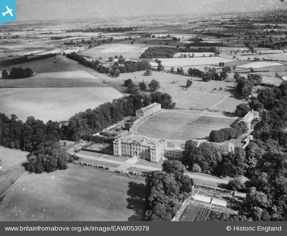
EAW053078 ENGLAND (1954). Burley House (Burley on the Hill), Burley, from the south-east, 1954. This image has been produced from a damaged negative.
© Copyright OpenStreetMap contributors and licensed by the OpenStreetMap Foundation. 2024. Cartography is licensed as CC BY-SA.
Details
| Title | [EAW053078] Burley House (Burley on the Hill), Burley, from the south-east, 1954. This image has been produced from a damaged negative. |
| Reference | EAW053078 |
| Date | 4-January-1954 |
| Link | |
| Place name | BURLEY |
| Parish | BURLEY |
| District | |
| Country | ENGLAND |
| Easting / Northing | 488440, 310168 |
| Longitude / Latitude | -0.69161757124765, 52.681634673369 |
| National Grid Reference | SK884102 |
Pins
Be the first to add a comment to this image!
User Comment Contributions
This image is reversed |
 Dave Brunt |
Tuesday 13th of December 2016 05:29:33 PM |


