
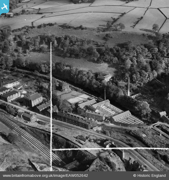
EAW052642 ENGLAND (1953). Nanholme Mill, Todmorden, 1953. This image was marked by Aerofilms Ltd for photo editing.
© Copyright OpenStreetMap contributors and licensed by the OpenStreetMap Foundation. 2024. Cartography is licensed as CC BY-SA.
Nearby Images (9)
EAW052642

EAW052640

EAW052641

EAW052643

EAW052645

EAW052644

EAW052639

EAW052637

EAW052638

Details
| Title | [EAW052642] Nanholme Mill, Todmorden, 1953. This image was marked by Aerofilms Ltd for photo editing. |
| Reference | EAW052642 |
| Date | 4-October-1953 |
| Link | |
| Place name | TODMORDEN |
| Parish | TODMORDEN |
| District | |
| Country | ENGLAND |
| Easting / Northing | 396084, 424767 |
| Longitude / Latitude | -2.0593479813376, 53.719075251847 |
| National Grid Reference | SD961248 |
Pins
Be the first to add a comment to this image!


