
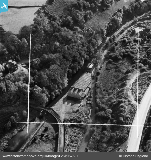
EAW052637 ENGLAND (1953). Stoodley Bridge Mill, Todmorden, 1953. This image was marked by Aerofilms Ltd for photo editing.
© Copyright OpenStreetMap contributors and licensed by the OpenStreetMap Foundation. 2024. Cartography is licensed as CC BY-SA.
Nearby Images (6)
EAW052637

EAW052638

EAW052639

EPW061468

EAW052642

EAW052640

Details
| Title | [EAW052637] Stoodley Bridge Mill, Todmorden, 1953. This image was marked by Aerofilms Ltd for photo editing. |
| Reference | EAW052637 |
| Date | 4-October-1953 |
| Link | |
| Place name | TODMORDEN |
| Parish | TODMORDEN |
| District | |
| Country | ENGLAND |
| Easting / Northing | 396291, 424990 |
| Longitude / Latitude | -2.0562135180861, 53.721081339574 |
| National Grid Reference | SD963250 |
Pins
 wadey |
Saturday 8th of November 2014 01:50:17 PM |


