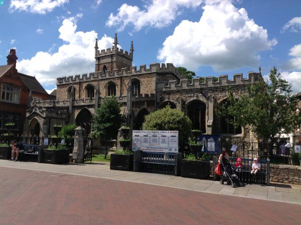
EAW051770 ENGLAND (1953). The town, Huntingdon, 1953

© Copyright OpenStreetMap contributors and licensed by the OpenStreetMap Foundation. 2024. Cartography is licensed as CC BY-SA.
Nearby Images (7)
EAW051770

EPW009841

EPW014430

EAW051769

EAW051768

EPW009849

EPW014431

Details
| Title | [EAW051770] The town, Huntingdon, 1953 |
| Reference | EAW051770 |
| Date | 14-August-1953 |
| Link | |
| Place name | HUNTINGDON |
| Parish | HUNTINGDON |
| District | |
| Country | ENGLAND |
| Easting / Northing | 524072, 271824 |
| Longitude / Latitude | -0.17902805183776, 52.33007221979 |
| National Grid Reference | TL241718 |
Pins
 Class31 |
Wednesday 7th of January 2015 02:32:09 PM | |
Class31 |
Wednesday 7th of January 2015 02:31:28 PM | |
Class31 |
Wednesday 7th of January 2015 02:30:54 PM | |
Class31 |
Wednesday 7th of January 2015 02:30:11 PM | |
Class31 |
Wednesday 7th of January 2015 02:29:35 PM | |
Class31 |
Wednesday 7th of January 2015 02:28:51 PM | |
Class31 |
Wednesday 7th of January 2015 02:28:16 PM | |
Class31 |
Wednesday 7th of January 2015 02:27:36 PM | |
Class31 |
Wednesday 7th of January 2015 02:26:57 PM |