
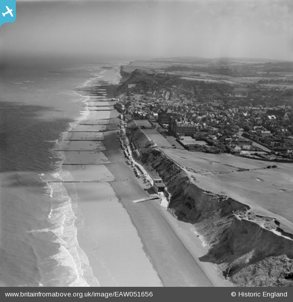
EAW051656 ENGLAND (1953). The town, the seafront and the surrounding coastline, Sheringham, from the west, 1953
© Copyright OpenStreetMap contributors and licensed by the OpenStreetMap Foundation. 2024. Cartography is licensed as CC BY-SA.
Nearby Images (2)
EAW051656

EPW001804

Details
| Title | [EAW051656] The town, the seafront and the surrounding coastline, Sheringham, from the west, 1953 |
| Reference | EAW051656 |
| Date | 26-August-1953 |
| Link | |
| Place name | SHERINGHAM |
| Parish | SHERINGHAM |
| District | |
| Country | ENGLAND |
| Easting / Northing | 615214, 343562 |
| Longitude / Latitude | 1.2036288206358, 52.945894323446 |
| National Grid Reference | TG152436 |
Pins
 Muffet |
Monday 23rd of November 2015 03:46:41 PM | |
Muffet |
Monday 23rd of November 2015 03:44:22 PM | |
Muffet |
Monday 23rd of November 2015 03:43:42 PM | |
Muffet |
Monday 23rd of November 2015 03:43:08 PM | |
Farrowbee |
Friday 21st of August 2015 06:31:02 PM | |
Farrowbee |
Friday 21st of August 2015 06:23:24 PM | |
Farrowbee |
Tuesday 31st of March 2015 09:23:26 PM | |
Farrowbee |
Tuesday 31st of March 2015 09:20:09 PM | |
Farrowbee |
Tuesday 31st of March 2015 09:18:40 PM | |
Farrowbee |
Tuesday 31st of March 2015 09:17:09 PM | |
Farrowbee |
Sunday 29th of March 2015 11:36:58 AM | |
Farrowbee |
Sunday 29th of March 2015 11:32:13 AM |
User Comment Contributions
Grand hotel tennis courts |
Farrowbee |
Friday 21st of August 2015 06:22:25 PM |


