
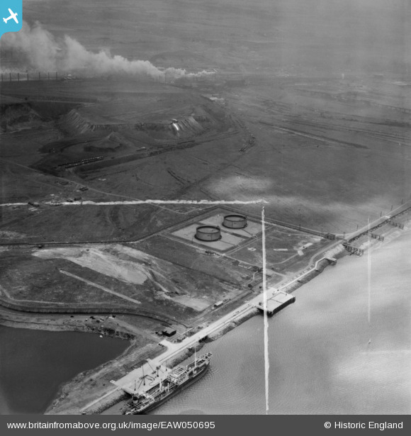
EAW050695 ENGLAND (1953). The Teesport Oil Depot and South Bank Iron Works, Teesport, 1953. This image was marked by Aerofilms Ltd for photo editing.
© Copyright OpenStreetMap contributors and licensed by the OpenStreetMap Foundation. 2024. Cartography is licensed as CC BY-SA.
Nearby Images (9)
EAW050695

EAW051066

EAW050694

EAW050687

EAW050696

EAW050692

EAW050693

EAW050686

EAW050688

Details
| Title | [EAW050695] The Teesport Oil Depot and South Bank Iron Works, Teesport, 1953. This image was marked by Aerofilms Ltd for photo editing. |
| Reference | EAW050695 |
| Date | 15-July-1953 |
| Link | |
| Place name | TEESPORT |
| Parish | |
| District | |
| Country | ENGLAND |
| Easting / Northing | 454095, 522893 |
| Longitude / Latitude | -1.1626055534414, 54.598196479739 |
| National Grid Reference | NZ541229 |
Pins
 redmist |
Sunday 28th of November 2021 04:58:17 PM | |
redmist |
Sunday 28th of November 2021 04:56:48 PM | |
redmist |
Sunday 28th of November 2021 04:56:21 PM | |
redmist |
Monday 28th of October 2019 09:29:03 PM | |
redmist |
Monday 28th of October 2019 09:28:12 PM | |
Porcy |
Thursday 29th of June 2017 01:47:57 AM |


