
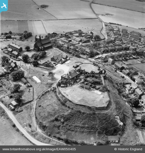
EAW050405 ENGLAND (1953). Halton Castle, Halton, 1953
© Copyright OpenStreetMap contributors and licensed by the OpenStreetMap Foundation. 2024. Cartography is licensed as CC BY-SA.
Nearby Images (5)
EAW050405

EAW050406

EAW050404

EAW050403

EAW050402

Details
| Title | [EAW050405] Halton Castle, Halton, 1953 |
| Reference | EAW050405 |
| Date | 7-July-1953 |
| Link | |
| Place name | HALTON |
| Parish | |
| District | |
| Country | ENGLAND |
| Easting / Northing | 353765, 382015 |
| Longitude / Latitude | -2.6943611510008, 53.332754007152 |
| National Grid Reference | SJ538820 |
Pins
 redmist |
Sunday 28th of January 2024 09:08:43 AM | |
Bottom Yard |
Friday 25th of August 2023 06:27:56 PM | |
Bottom Yard |
Friday 25th of August 2023 12:34:50 PM | |
Bottom Yard |
Friday 25th of August 2023 12:31:49 PM | |
Bottom Yard |
Friday 25th of August 2023 12:30:19 PM |


