
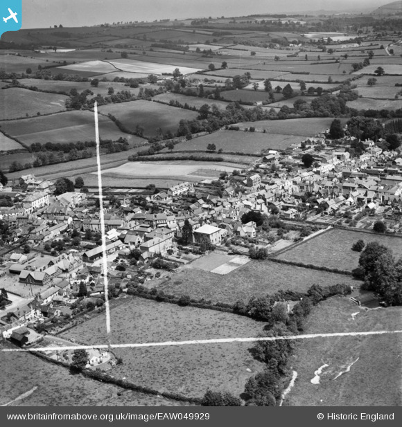
EAW049929 ENGLAND (1953). The town centre, Kington, from the south, 1953. This image was marked by Aerofilms Ltd for photo editing.
© Copyright OpenStreetMap contributors and licensed by the OpenStreetMap Foundation. 2024. Cartography is licensed as CC BY-SA.
Nearby Images (5)
EAW049929

EAW049931

EAW049930

EAW049932

EAW049928

Details
| Title | [EAW049929] The town centre, Kington, from the south, 1953. This image was marked by Aerofilms Ltd for photo editing. |
| Reference | EAW049929 |
| Date | 11-June-1953 |
| Link | |
| Place name | KINGTON |
| Parish | KINGTON |
| District | |
| Country | ENGLAND |
| Easting / Northing | 329617, 256531 |
| Longitude / Latitude | -3.0299930502798, 52.202107072319 |
| National Grid Reference | SO296565 |
Pins
 jandpatupton |
Monday 6th of October 2014 03:21:14 PM |


