
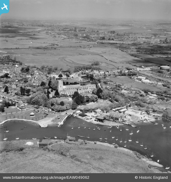
EAW049062 ENGLAND (1953). Clay Pool, Christ Church and environs, Christchurch, from the south, 1953
© Copyright OpenStreetMap contributors and licensed by the OpenStreetMap Foundation. 2024. Cartography is licensed as CC BY-SA.
Nearby Images (12)
EAW049062

EPR000281

EAW034633

EAW049063

EPR000280

EPW018172

EPW013616

EPW018171

EPW037439

EPW013614

EAW034632

EAW034634

Details
| Title | [EAW049062] Clay Pool, Christ Church and environs, Christchurch, from the south, 1953 |
| Reference | EAW049062 |
| Date | 4-May-1953 |
| Link | |
| Place name | CHRISTCHURCH |
| Parish | |
| District | |
| Country | ENGLAND |
| Easting / Northing | 416031, 92329 |
| Longitude / Latitude | -1.7728341489773, 50.729784915373 |
| National Grid Reference | SZ160923 |


