
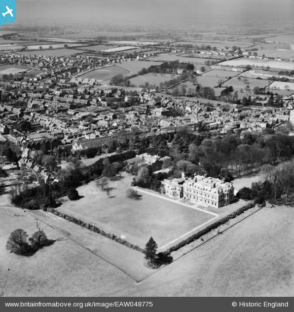
EAW048775 ENGLAND (1953). The Mansion and the town, Tring, from the east, 1953
© Copyright OpenStreetMap contributors and licensed by the OpenStreetMap Foundation. 2024. Cartography is licensed as CC BY-SA.
Nearby Images (5)
EAW048775

EAW048774

EPW056442

EAW048773

EPW001240

Details
| Title | [EAW048775] The Mansion and the town, Tring, from the east, 1953 |
| Reference | EAW048775 |
| Date | 22-April-1953 |
| Link | |
| Place name | TRING |
| Parish | TRING |
| District | |
| Country | ENGLAND |
| Easting / Northing | 492690, 211129 |
| Longitude / Latitude | -0.65592989426085, 51.790676998806 |
| National Grid Reference | SP927111 |
Pins
 Mark |
Wednesday 23rd of August 2023 01:09:38 AM |


