
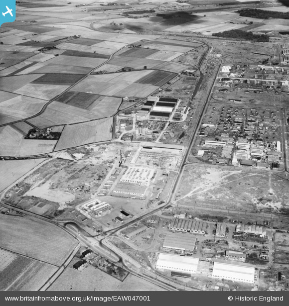
EAW047001 ENGLAND (1952). The Kirkby Industrial Estate around Lees Road, Kirkby, 1952
© Copyright OpenStreetMap contributors and licensed by the OpenStreetMap Foundation. 2024. Cartography is licensed as CC BY-SA.
Nearby Images (3)
EAW047001

EAW004619
, Kirkby, 1947. This image was marked by Aerofilms Ltd for photo editing.")
EAW004618
, Kirkby, 1947")
Details
| Title | [EAW047001] The Kirkby Industrial Estate around Lees Road, Kirkby, 1952 |
| Reference | EAW047001 |
| Date | 7-September-1952 |
| Link | |
| Place name | KIRKBY |
| Parish | |
| District | |
| Country | ENGLAND |
| Easting / Northing | 342656, 398389 |
| Longitude / Latitude | -2.8641559181306, 53.478845739954 |
| National Grid Reference | SJ427984 |
Pins
 austin |
Saturday 1st of July 2023 06:17:22 PM | |
trotter |
Saturday 18th of January 2020 11:43:37 PM | |
trotter |
Saturday 18th of January 2020 11:43:36 PM | |
trotter |
Saturday 18th of January 2020 11:40:06 PM | |
trotter |
Saturday 18th of January 2020 11:34:45 PM |


