
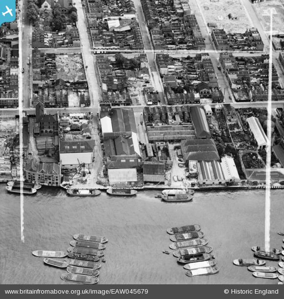
EAW045679 ENGLAND (1952). Express Wharf, Millwall, 1952. This image was marked by Aerofilms Ltd for photo editing.
© Copyright OpenStreetMap contributors and licensed by the OpenStreetMap Foundation. 2024. Cartography is licensed as CC BY-SA.
Nearby Images (17)
EAW045679

EAW045675

EAW045677

EAW045673

EAW045678

EAW045674

EAW045810

EAW045680

EAW045676

EAW045812

EAW045807

EAW045809

EAW045808

EAW045811

EPW060776

EAW045813

EPW006141

Details
| Title | [EAW045679] Express Wharf, Millwall, 1952. This image was marked by Aerofilms Ltd for photo editing. |
| Reference | EAW045679 |
| Date | 31-July-1952 |
| Link | |
| Place name | MILLWALL |
| Parish | |
| District | |
| Country | ENGLAND |
| Easting / Northing | 537069, 179655 |
| Longitude / Latitude | -0.025083468127123, 51.498709014033 |
| National Grid Reference | TQ371797 |


