
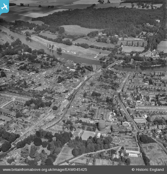
EAW045425 ENGLAND (1952). The town, Henley-on-Thames, 1952
© Copyright OpenStreetMap contributors and licensed by the OpenStreetMap Foundation. 2024. Cartography is licensed as CC BY-SA.
Nearby Images (15)
EAW045425

EPW000853

EPW022749

EAW045422

EAW045424

EPW022748

EAW044518

EAW045426

EPW000855

EPW035809

EAW045423

EAW044544

EPW022747

EAW044545

EAW044543

Details
| Title | [EAW045425] The town, Henley-on-Thames, 1952 |
| Reference | EAW045425 |
| Date | 6-August-1952 |
| Link | |
| Place name | HENLEY-ON-THAMES |
| Parish | HENLEY-ON-THAMES |
| District | |
| Country | ENGLAND |
| Easting / Northing | 476139, 182658 |
| Longitude / Latitude | -0.90208303129489, 51.537204135427 |
| National Grid Reference | SU761827 |
Pins
 Andy from Abingdon on Thames |
Sunday 2nd of October 2016 10:34:39 PM | |
Andy from Abingdon on Thames |
Sunday 2nd of October 2016 10:32:34 PM |


