
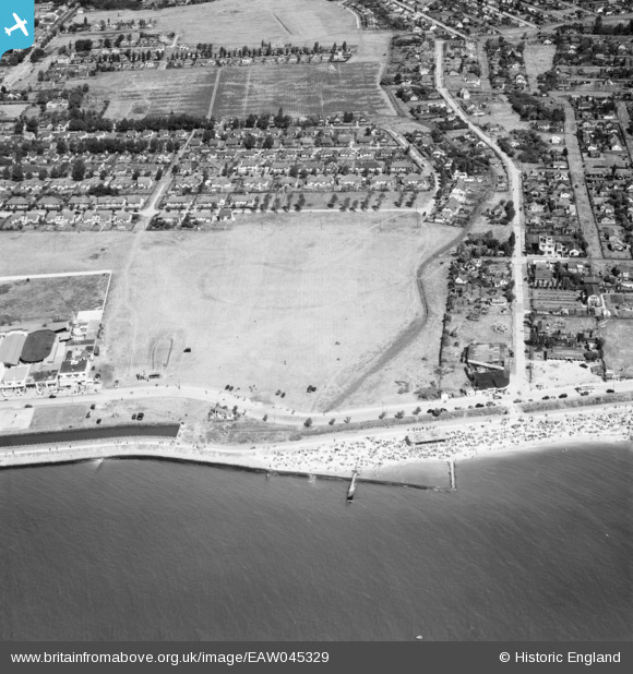
EAW045329 ENGLAND (1952). Housing around May Avenue and Labworth Lane, Canvey Island, 1952
© Copyright OpenStreetMap contributors and licensed by the OpenStreetMap Foundation. 2024. Cartography is licensed as CC BY-SA.
Nearby Images (20)
EAW045329

EAW045300

EAW051057

EAW045328

EAW051012

EAW045301

EAW051011

EAW026918

EAW051050

EAW045327

EAW051049

EAW045299

EAW051058

EAW051048

EAW051051

EAW026917

EAW045302

EAW048235

EAW051052

EAW051013

Details
| Title | [EAW045329] Housing around May Avenue and Labworth Lane, Canvey Island, 1952 |
| Reference | EAW045329 |
| Date | 2-August-1952 |
| Link | |
| Place name | CANVEY ISLAND |
| Parish | CANVEY ISLAND |
| District | |
| Country | ENGLAND |
| Easting / Northing | 580435, 182602 |
| Longitude / Latitude | 0.60064113548284, 51.513004831609 |
| National Grid Reference | TQ804826 |
Pins
Be the first to add a comment to this image!


