
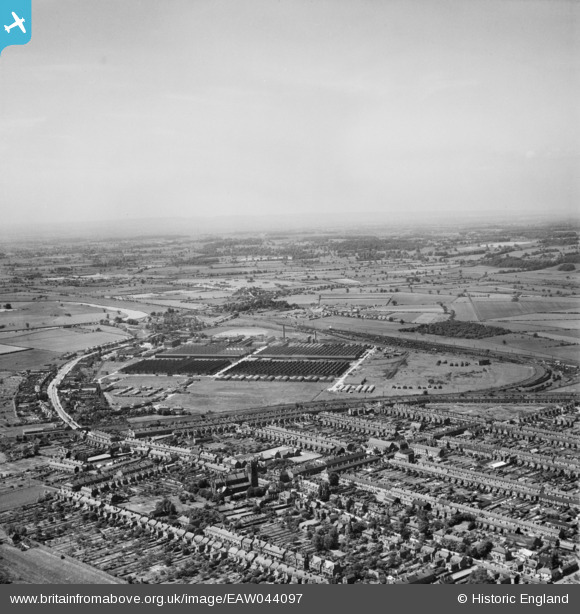
EAW044097 ENGLAND (1952). The Branston Depot, Burton upon Trent, from the east, 1952
© Copyright OpenStreetMap contributors and licensed by the OpenStreetMap Foundation. 2024. Cartography is licensed as CC BY-SA.
Details
| Title | [EAW044097] The Branston Depot, Burton upon Trent, from the east, 1952 |
| Reference | EAW044097 |
| Date | 10-June-1952 |
| Link | |
| Place name | BURTON UPON TRENT |
| Parish | ANGLESEY |
| District | |
| Country | ENGLAND |
| Easting / Northing | 424047, 321797 |
| Longitude / Latitude | -1.6433491762011, 52.792871215431 |
| National Grid Reference | SK240218 |
Pins
Be the first to add a comment to this image!


