
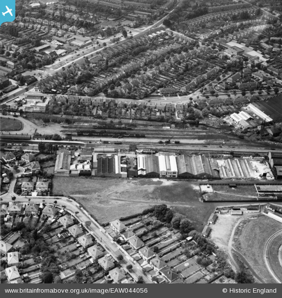
EAW044056 ENGLAND (1952). Industrial buildings next to the railway line and surrounding residential streets, Hall Green, 1952
© Copyright OpenStreetMap contributors and licensed by the OpenStreetMap Foundation. 2024. Cartography is licensed as CC BY-SA.
Nearby Images (12)
EAW044056

EAW044060

EAW044059

EAW044052

EAW044053

EAW044061

EAW044055

EAW044057

EAW044054

EAW044058

EAW044062

EPW027017

Details
| Title | [EAW044056] Industrial buildings next to the railway line and surrounding residential streets, Hall Green, 1952 |
| Reference | EAW044056 |
| Date | 16-June-1952 |
| Link | |
| Place name | HALL GREEN |
| Parish | |
| District | |
| Country | ENGLAND |
| Easting / Northing | 410675, 282245 |
| Longitude / Latitude | -1.8429510194735, 52.437698692011 |
| National Grid Reference | SP107822 |
Pins
 Griffin |
Saturday 24th of October 2015 10:06:12 AM | |
Griffin |
Saturday 24th of October 2015 10:03:55 AM | |
Griffin |
Saturday 24th of October 2015 10:01:46 AM | |
Griffin |
Saturday 24th of October 2015 10:00:31 AM | |
Griffin |
Saturday 24th of October 2015 09:59:42 AM |


