
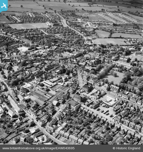
EAW043695 ENGLAND (1952). The Market Place and town centre, Braintree, 1952
© Copyright OpenStreetMap contributors and licensed by the OpenStreetMap Foundation. 2024. Cartography is licensed as CC BY-SA.
Nearby Images (7)
EAW043695

EPW001743

EAW043697

EAW001515

EAW001516

EAW001517

EAW043698

Details
| Title | [EAW043695] The Market Place and town centre, Braintree, 1952 |
| Reference | EAW043695 |
| Date | 4-June-1952 |
| Link | |
| Place name | BRAINTREE |
| Parish | |
| District | |
| Country | ENGLAND |
| Easting / Northing | 575759, 223041 |
| Longitude / Latitude | 0.5536951243185, 51.877756187936 |
| National Grid Reference | TL758230 |


