
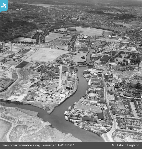
EAW043567 ENGLAND (1952). Barking Creek, Great Wharf Estate and environs, Barking, 1952
© Copyright OpenStreetMap contributors and licensed by the OpenStreetMap Foundation. 2024. Cartography is licensed as CC BY-SA.
Nearby Images (16)
EAW043567

EAW032565

EAW032562

EAW032563

EAW032561

EAW032560

EPW036611

EAW032566

EAW032568

EAW032564

EAW032567

EPW036610

EPW025608

EPW025606

EAW043568

EPW036607

Details
| Title | [EAW043567] Barking Creek, Great Wharf Estate and environs, Barking, 1952 |
| Reference | EAW043567 |
| Date | 4-June-1952 |
| Link | |
| Place name | BARKING |
| Parish | |
| District | |
| Country | ENGLAND |
| Easting / Northing | 543910, 183588 |
| Longitude / Latitude | 0.075021174991663, 51.532352802437 |
| National Grid Reference | TQ439836 |
Pins
 Hermann the German |
Wednesday 16th of August 2017 05:33:42 PM |


