
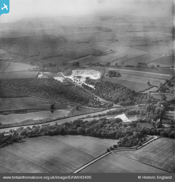
EAW043495 ENGLAND (1952). Sprotbrough Quarry and the surrounding area, Sprotbrough, from the east, 1952
© Copyright OpenStreetMap contributors and licensed by the OpenStreetMap Foundation. 2024. Cartography is licensed as CC BY-SA.
Nearby Images (2)
EAW043495

EAW043494

Details
| Title | [EAW043495] Sprotbrough Quarry and the surrounding area, Sprotbrough, from the east, 1952 |
| Reference | EAW043495 |
| Date | 21-May-1952 |
| Link | |
| Place name | SPROTBROUGH |
| Parish | SPROTBROUGH AND CUSWORTH |
| District | |
| Country | ENGLAND |
| Easting / Northing | 453727, 401308 |
| Longitude / Latitude | -1.1898450267233, 53.505465054191 |
| National Grid Reference | SE537013 |
Pins
 redmist |
Tuesday 28th of March 2023 08:22:05 PM |


