
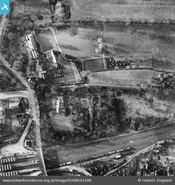
EAW041446 ENGLAND (1951). Manor House, Boreham Holt and environs, Borehamwood, 1951
© Copyright OpenStreetMap contributors and licensed by the OpenStreetMap Foundation. 2024. Cartography is licensed as CC BY-SA.
Nearby Images (15)
EAW041446

EAW033460

EAW033461

EAW041447

EAW041449

EAW041450

EAW041445

EAW041448

EAW044079

EAW041451

EAW041452

EAW023319

EAW041455

EAW041456

EAW041453

Details
| Title | [EAW041446] Manor House, Boreham Holt and environs, Borehamwood, 1951 |
| Reference | EAW041446 |
| Date | 28-December-1951 |
| Link | |
| Place name | BOREHAMWOOD |
| Parish | ELSTREE AND BOREHAMWOOD |
| District | |
| Country | ENGLAND |
| Easting / Northing | 518911, 196392 |
| Longitude / Latitude | -0.2809039463877, 51.653259483791 |
| National Grid Reference | TQ189964 |
Pins
Be the first to add a comment to this image!


