
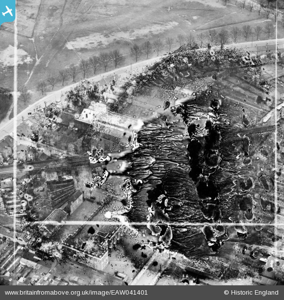
EAW041401 ENGLAND (1951). The H. W. Nevill Ltd Bakery (site of) off Harrow Road, Leytonstone, 1951. This image has been produced from a damaged negative.
© Copyright OpenStreetMap contributors and licensed by the OpenStreetMap Foundation. 2024. Cartography is licensed as CC BY-SA.
Nearby Images (12)
EAW041401
 off Harrow Road, Leytonstone, 1951. This image has been produced from a damaged negative.")
EAW041403

EAW041394

EAW041402

EAW041395

EAW041404

EAW041399

EAW041397

EAW041405

EAW041396

EAW041398

EAW041400

Details
| Title | [EAW041401] The H. W. Nevill Ltd Bakery (site of) off Harrow Road, Leytonstone, 1951. This image has been produced from a damaged negative. |
| Reference | EAW041401 |
| Date | 22-November-1951 |
| Link | |
| Place name | LEYTONSTONE |
| Parish | |
| District | |
| Country | ENGLAND |
| Easting / Northing | 539799, 186324 |
| Longitude / Latitude | 0.016872437583425, 51.557973937957 |
| National Grid Reference | TQ398863 |
Pins
Be the first to add a comment to this image!


