
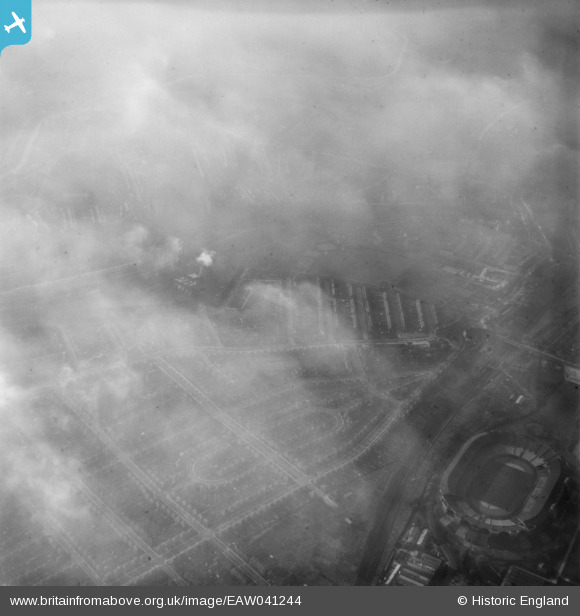
EAW041244 ENGLAND (1951). Fog over Wembley Stadium and the residential area around St Michael's Avenue, Tokyngton, 1951
© Copyright OpenStreetMap contributors and licensed by the OpenStreetMap Foundation. 2024. Cartography is licensed as CC BY-SA.
Nearby Images (3)
EAW041244

EPW041904

EPW056447

Details
| Title | [EAW041244] Fog over Wembley Stadium and the residential area around St Michael's Avenue, Tokyngton, 1951 |
| Reference | EAW041244 |
| Date | 14-November-1951 |
| Link | |
| Place name | TOKYNGTON |
| Parish | |
| District | |
| Country | ENGLAND |
| Easting / Northing | 518979, 184825 |
| Longitude / Latitude | -0.28384604686273, 51.549277371168 |
| National Grid Reference | TQ190848 |
Pins
Be the first to add a comment to this image!


