
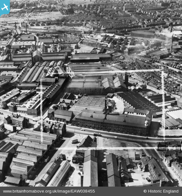
EAW038455 ENGLAND (1951). The Alf Cooke Ltd Crown Point Printing Works on Hunslet Road and environs, Hunslet, 1951. This image has been produced from a print marked by Aerofilms Ltd for photo editing.
© Copyright OpenStreetMap contributors and licensed by the OpenStreetMap Foundation. 2024. Cartography is licensed as CC BY-SA.
Nearby Images (21)
EAW038455

EAW015962

EAW038452

EPW034099

EAW038459

EPW031642

EPW034097

EAW038458

EAW038460

EPW034096

EPW034098

EAW015963

EAW015960

EPW034095

EAW015961

EAW038461

EPW031643

EPW031644

EAW015965

EAW015966

EAW015964

Details
| Title | [EAW038455] The Alf Cooke Ltd Crown Point Printing Works on Hunslet Road and environs, Hunslet, 1951. This image has been produced from a print marked by Aerofilms Ltd for photo editing. |
| Reference | EAW038455 |
| Date | 2-August-1951 |
| Link | |
| Place name | HUNSLET |
| Parish | |
| District | |
| Country | ENGLAND |
| Easting / Northing | 430567, 432501 |
| Longitude / Latitude | -1.5359919892648, 53.787713798471 |
| National Grid Reference | SE306325 |
Pins
 Mick S |
Thursday 16th of March 2023 03:03:12 PM | |
Mick S |
Thursday 16th of March 2023 03:01:38 PM | |
Mick S |
Thursday 16th of March 2023 03:00:25 PM | |
Mick S |
Thursday 16th of March 2023 02:59:39 PM | |
Mick S |
Thursday 16th of March 2023 02:58:20 PM | |
Mick S |
Thursday 16th of March 2023 02:56:52 PM | |
Mick S |
Thursday 16th of March 2023 02:56:39 PM |


