
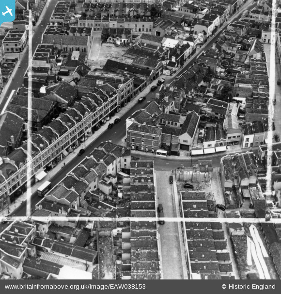
EAW038153 ENGLAND (1951). The junction of Catharine Street and Barrow Road and environs, Bristol, 1951. This image has been produced from a print marked by Aerofilms Ltd for photo editing.
© Copyright OpenStreetMap contributors and licensed by the OpenStreetMap Foundation. 2024. Cartography is licensed as CC BY-SA.
Nearby Images (11)
EAW038153

EAW038147

EAW038157

EAW038156

EAW038151

EAW038152

EAW038155

EAW038149

EAW038150

EAW038148

EAW038154

Details
| Title | [EAW038153] The junction of Catharine Street and Barrow Road and environs, Bristol, 1951. This image has been produced from a print marked by Aerofilms Ltd for photo editing. |
| Reference | EAW038153 |
| Date | 25-July-1951 |
| Link | |
| Place name | BRISTOL |
| Parish | |
| District | |
| Country | ENGLAND |
| Easting / Northing | 360316, 173392 |
| Longitude / Latitude | -2.5712380076749, 51.457624969316 |
| National Grid Reference | ST603734 |
Pins
Be the first to add a comment to this image!


