
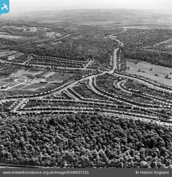
EAW037101 ENGLAND (1951). The residential area at Beauchief and Meadow Head, Sheffield, from the north-west, 1951. This image has been produced from a print.
© Copyright OpenStreetMap contributors and licensed by the OpenStreetMap Foundation. 2024. Cartography is licensed as CC BY-SA.
Nearby Images (7)
EAW037101

EAW037098

EAW037099

EAW031275

EPW020403

EPW020399

EAW037100

Details
| Title | [EAW037101] The residential area at Beauchief and Meadow Head, Sheffield, from the north-west, 1951. This image has been produced from a print. |
| Reference | EAW037101 |
| Date | 5-June-1951 |
| Link | |
| Place name | SHEFFIELD |
| Parish | |
| District | |
| Country | ENGLAND |
| Easting / Northing | 433374, 382611 |
| Longitude / Latitude | -1.4987139577133, 53.339079235841 |
| National Grid Reference | SK334826 |
Pins
 llan |
Tuesday 13th of March 2018 10:15:29 AM | |
llan |
Tuesday 13th of March 2018 10:07:20 AM | |
llan |
Saturday 2nd of December 2017 03:42:43 PM | |
llan |
Monday 27th of November 2017 02:21:14 PM | |
llan |
Monday 27th of November 2017 02:17:18 PM | |
llan |
Monday 27th of November 2017 02:15:41 PM | |
llan |
Monday 27th of November 2017 02:14:28 PM | |
llan |
Thursday 16th of November 2017 12:15:36 PM | |
John Wass |
Tuesday 10th of February 2015 09:28:08 PM |


