
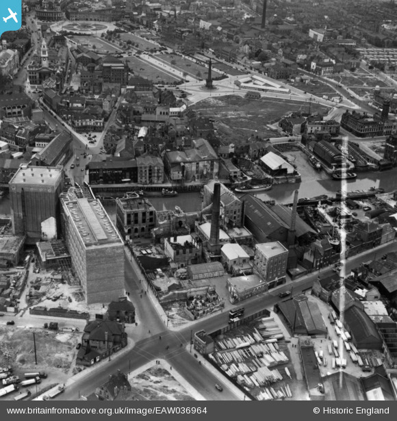
EAW036964 ENGLAND (1951). Joseph Rank Ltd Clarence Corn Mills, Kingston upon Hull, 1951. This image has been produced from a print marked by Aerofilms Ltd for photo editing.
© Copyright OpenStreetMap contributors and licensed by the OpenStreetMap Foundation. 2024. Cartography is licensed as CC BY-SA.
Nearby Images (20)
EAW036964

EPW036505

EAW036970

EAW046137

EAW036962

EAW036971

EAW036966

EAW036861

EAW036963

EPW009378

EAW036969

EAW036973

EPW012700

EAW036965

EAW036968

EAW036967

EAW036972

EAW015646

EPW055046

EPW009401

Details
| Title | [EAW036964] Joseph Rank Ltd Clarence Corn Mills, Kingston upon Hull, 1951. This image has been produced from a print marked by Aerofilms Ltd for photo editing. |
| Reference | EAW036964 |
| Date | 7-June-1951 |
| Link | |
| Place name | KINGSTON UPON HULL |
| Parish | |
| District | |
| Country | ENGLAND |
| Easting / Northing | 510330, 429047 |
| Longitude / Latitude | -0.32678523436321, 53.745884128361 |
| National Grid Reference | TA103290 |
Pins
Be the first to add a comment to this image!


