
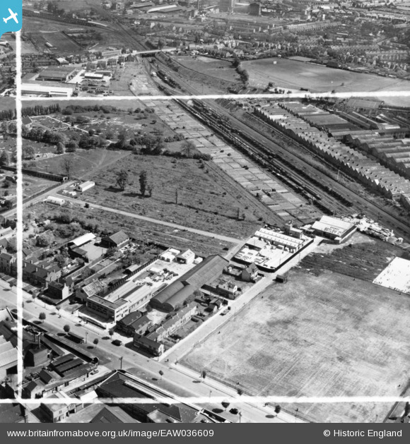
EAW036609 ENGLAND (1951). The Ernest Batley Ltd Concrete Works, Colledge Road and environs, Whitmore Park, 1951. This image has been produced from a print marked by Aerofilms Ltd for photo editing.
© Copyright OpenStreetMap contributors and licensed by the OpenStreetMap Foundation. 2024. Cartography is licensed as CC BY-SA.
Nearby Images (23)
EAW036609

EAW036602

EAW036605

EAW036608

EAW036607

EAW036606

EAW036603

EAW036601

EAW036604

EPW049475

EPW049476

EPW027063

EPW027061

EPW027064

EPW049477

EPW027062

EPW027057

EPW027059

EPW027066

EPW049474

EPW027058

EPW027065

EPW027060

Details
| Title | [EAW036609] The Ernest Batley Ltd Concrete Works, Colledge Road and environs, Whitmore Park, 1951. This image has been produced from a print marked by Aerofilms Ltd for photo editing. |
| Reference | EAW036609 |
| Date | 31-May-1951 |
| Link | |
| Place name | WHITMORE PARK |
| Parish | |
| District | |
| Country | ENGLAND |
| Easting / Northing | 433792, 282245 |
| Longitude / Latitude | -1.5028663714217, 52.436758125331 |
| National Grid Reference | SP338822 |
Pins
 NottmJas |
Sunday 25th of February 2024 12:06:00 AM | |
Darren |
Saturday 20th of April 2019 01:50:41 AM | |
Darren |
Saturday 20th of April 2019 01:50:14 AM | |
Darren |
Saturday 20th of April 2019 01:49:57 AM |


