
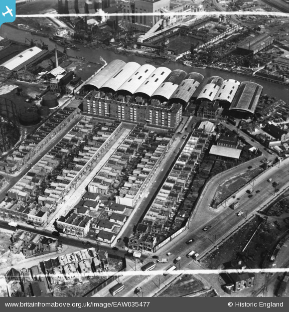
EAW035477 ENGLAND (1951). Oban Street, Moness Street, Portree Street and Commercial Wharf on the River Lea, South Bromley, 1951. This image has been produced from a print marked by Aerofilms Ltd for photo editing.
© Copyright OpenStreetMap contributors and licensed by the OpenStreetMap Foundation. 2024. Cartography is licensed as CC BY-SA.
Nearby Images (26)
EAW035477

EAW035483

EAW035482

EAW035484

EAW035481

EAW037181

EAW035480

EAW035479

EAW037183

EAW037185

EAW035478

EAW037177

EAW037184

EAW037180

EAW037186

EAW037179

EAW035489

EAW035504

EAW037178

EAW035488

EAW035487

EAW035502

EAW035485

EAW035490

EAW035492

EAW035493

Details
| Title | [EAW035477] Oban Street, Moness Street, Portree Street and Commercial Wharf on the River Lea, South Bromley, 1951. This image has been produced from a print marked by Aerofilms Ltd for photo editing. |
| Reference | EAW035477 |
| Date | 17-April-1951 |
| Link | |
| Place name | SOUTH BROMLEY |
| Parish | |
| District | |
| Country | ENGLAND |
| Easting / Northing | 538918, 181410 |
| Longitude / Latitude | 0.0022313418986471, 51.514029755565 |
| National Grid Reference | TQ389814 |
Pins
 Post-war prefabs |
Thursday 25th of February 2021 08:57:10 AM |


