
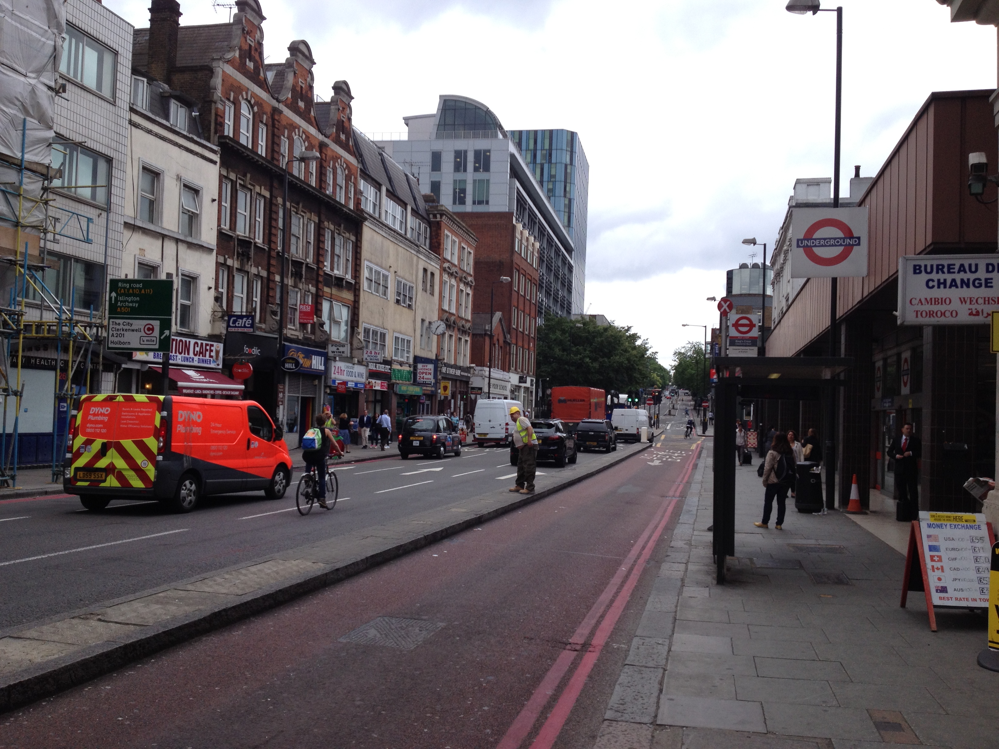
EAW034986 ENGLAND (1951). A cityscape over Pentonville, Islington, 1951. This image was marked by Aerofilms Ltd for photo editing.

© Copyright OpenStreetMap contributors and licensed by the OpenStreetMap Foundation. 2024. Cartography is licensed as CC BY-SA.
Nearby Images (37)
EAW034986

EAW044117

EAW044344

EAW044343

EAW034998

EAW034990

EAW034993

EAW044335

EAW044118

EAW034992

EAW044336

EAW044337

EAW034994

EAW034995

EAW044341

EAW044125

EAW044123

EAW034989

EAW034991

EAW044342

EAW034997

EPW032917

EAW044120

EAW044116

EAW044339

EAW044122

EAW044340

EPW021407

EAW044338

EAW044124

EAW034988

EAW044121

EAW035000

EAW034996

EAW044115

EAW044119

EAW034999

Details
| Title | [EAW034986] A cityscape over Pentonville, Islington, 1951. This image was marked by Aerofilms Ltd for photo editing. |
| Reference | EAW034986 |
| Date | 20-March-1951 |
| Link | |
| Place name | ISLINGTON |
| Parish | |
| District | |
| Country | ENGLAND |
| Easting / Northing | 530858, 183219 |
| Longitude / Latitude | -0.11319594140452, 51.532213086846 |
| National Grid Reference | TQ309832 |
Pins
 |
 Rob |
Saturday 1st of February 2020 10:54:10 PM |
 Class31 |
Sunday 25th of January 2015 10:14:23 AM | |
Class31 |
Sunday 25th of January 2015 10:13:07 AM | |
Class31 |
Sunday 25th of January 2015 10:11:19 AM | |
Rob |
Friday 7th of November 2014 10:02:32 AM | |
billyfern |
Saturday 14th of June 2014 07:51:45 PM | |
billyfern |
Saturday 14th of June 2014 07:51:06 PM | |
billyfern |
Saturday 14th of June 2014 07:50:47 PM | |
billyfern |
Saturday 14th of June 2014 07:50:16 PM | |
billyfern |
Saturday 14th of June 2014 07:49:55 PM | |
billyfern |
Saturday 14th of June 2014 07:49:30 PM | |
billyfern |
Saturday 14th of June 2014 07:49:01 PM | |
billyfern |
Saturday 14th of June 2014 07:48:39 PM | |
billyfern |
Saturday 14th of June 2014 07:48:07 PM | |
billyfern |
Saturday 14th of June 2014 07:47:39 PM | |
billyfern |
Saturday 14th of June 2014 07:47:17 PM | |
billyfern |
Saturday 14th of June 2014 07:46:59 PM | |
billyfern |
Saturday 14th of June 2014 07:46:26 PM | |
billyfern |
Saturday 14th of June 2014 07:45:57 PM | |
billyfern |
Saturday 14th of June 2014 07:45:34 PM | |
billyfern |
Saturday 14th of June 2014 07:45:21 PM | |
billyfern |
Saturday 14th of June 2014 07:45:05 PM | |
billyfern |
Saturday 14th of June 2014 07:44:47 PM | |
billyfern |
Saturday 14th of June 2014 07:44:29 PM | |
billyfern |
Saturday 14th of June 2014 07:44:11 PM | |
billyfern |
Saturday 14th of June 2014 07:43:43 PM | |
billyfern |
Saturday 14th of June 2014 07:43:18 PM | |
billyfern |
Saturday 14th of June 2014 07:42:54 PM | |
billyfern |
Saturday 14th of June 2014 07:42:33 PM | |
billyfern |
Saturday 14th of June 2014 07:42:09 PM | |
billyfern |
Saturday 14th of June 2014 07:41:27 PM | |
billyfern |
Saturday 14th of June 2014 07:41:12 PM | |
billyfern |
Saturday 14th of June 2014 07:41:00 PM | |
billyfern |
Saturday 14th of June 2014 07:40:45 PM | |
billyfern |
Saturday 14th of June 2014 07:40:24 PM | |
billyfern |
Saturday 14th of June 2014 07:40:03 PM | |
billyfern |
Saturday 14th of June 2014 07:39:35 PM | |
billyfern |
Saturday 14th of June 2014 07:39:07 PM |


User Comment Contributions
 Essex Road, 04/09/2013 |
Class31 |
Sunday 25th of January 2015 10:16:20 AM |
 Essex Road, 04/09/2013 |
Class31 |
Sunday 25th of January 2015 10:15:59 AM |
 The Angel, Islington 07/05/2014 |
Class31 |
Sunday 25th of January 2015 10:13:37 AM |
 Gray's Inn Road, Kings Cross 16/06/2014 |
Class31 |
Sunday 25th of January 2015 10:09:16 AM |
 Pentonville Road, 16/06/2014 |
Class31 |
Sunday 25th of January 2015 10:08:17 AM |
 Caledonian Road, 16/06/2014 |
Class31 |
Sunday 25th of January 2015 10:06:55 AM |
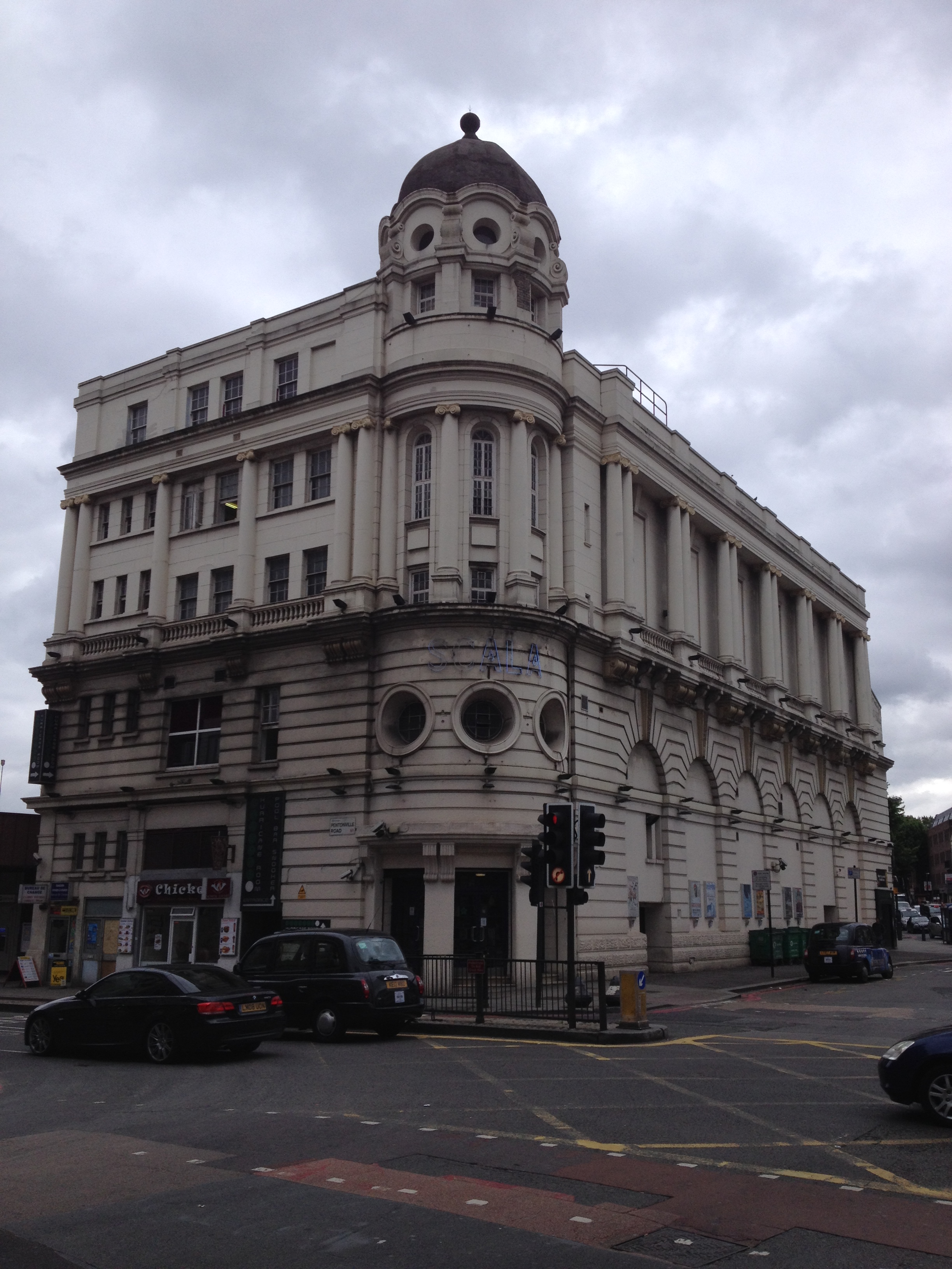 The Scala or King's Cross Cinema, 16/06/2014 |
Class31 |
Sunday 25th of January 2015 10:05:58 AM |


