
EAW034902 ENGLAND (1951). The High Street and town, Marlborough, 1951

© Copyright OpenStreetMap contributors and licensed by the OpenStreetMap Foundation. 2024. Cartography is licensed as CC BY-SA.
Nearby Images (6)
EAW034902

EAW034903

EPW011124

EAW034901

EAW034900

EPW011126

Details
| Title | [EAW034902] The High Street and town, Marlborough, 1951 |
| Reference | EAW034902 |
| Date | 12-March-1951 |
| Link | |
| Place name | MARLBOROUGH |
| Parish | MARLBOROUGH |
| District | |
| Country | ENGLAND |
| Easting / Northing | 418737, 169074 |
| Longitude / Latitude | -1.7305101112085, 51.419876575598 |
| National Grid Reference | SU187691 |
Pins
 NottmJas |
Monday 5th of February 2024 04:16:45 PM | |
 |
YITKV |
Tuesday 29th of July 2014 01:05:52 AM |
Peter Turvey |
Wednesday 9th of July 2014 09:40:24 PM | |
Peter Turvey |
Wednesday 9th of July 2014 09:38:47 PM |
User Comment Contributions
 Priory Gardens |
 Alan McFaden |
Monday 25th of August 2014 10:53:49 AM |
 Marlborough |
Alan McFaden |
Monday 25th of August 2014 10:52:57 AM |
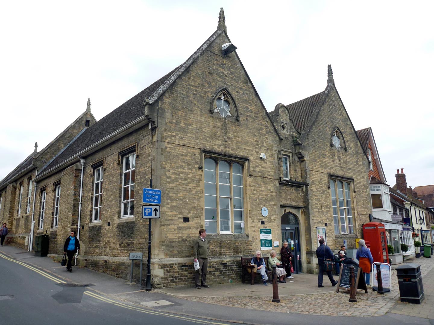 Marlborough Library |
Alan McFaden |
Monday 25th of August 2014 10:52:19 AM |
 Priory Gardens |
Alan McFaden |
Monday 25th of August 2014 10:51:55 AM |
 Saint Mary's Church |
Alan McFaden |
Monday 25th of August 2014 10:51:27 AM |
.jpg) Saint Peter and Saint Paul Church |
Alan McFaden |
Monday 25th of August 2014 10:50:55 AM |
Marlborough |
Alan McFaden |
Monday 25th of August 2014 10:49:16 AM |


