
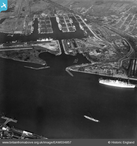
EAW034857 ENGLAND (1951). Tilbury Docks, Tilbury, 1951. This image has been produced from a print.
© Copyright OpenStreetMap contributors and licensed by the OpenStreetMap Foundation. 2024. Cartography is licensed as CC BY-SA.
Nearby Images (8)
EAW034857

EPW044226

EPW044219

EAW034858

EAW014598

EAW014600

EAW028721

EPW044225

Details
| Title | [EAW034857] Tilbury Docks, Tilbury, 1951. This image has been produced from a print. |
| Reference | EAW034857 |
| Date | 7-March-1951 |
| Link | |
| Place name | TILBURY |
| Parish | |
| District | |
| Country | ENGLAND |
| Easting / Northing | 564001, 175096 |
| Longitude / Latitude | 0.36051622647654, 51.450574584326 |
| National Grid Reference | TQ640751 |
Pins
Be the first to add a comment to this image!


