
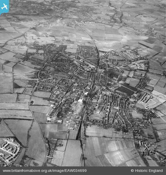
EAW034699 ENGLAND (1951). The town, Letchworth Garden City, 1951
© Copyright OpenStreetMap contributors and licensed by the OpenStreetMap Foundation. 2024. Cartography is licensed as CC BY-SA.
Nearby Images (9)
EAW034699

EPW034754

EAW041991

EAW034704

EPW034747

EPW034751

EAW034700

EAW010081

EAW029702

Details
| Title | [EAW034699] The town, Letchworth Garden City, 1951 |
| Reference | EAW034699 |
| Date | 19-February-1951 |
| Link | |
| Place name | LETCHWORTH GARDEN CITY |
| Parish | LETCHWORTH GARDEN CITY |
| District | |
| Country | ENGLAND |
| Easting / Northing | 522265, 232870 |
| Longitude / Latitude | -0.21956125749201, 51.98039349051 |
| National Grid Reference | TL223329 |
Pins
 Paul |
Thursday 16th of April 2015 08:28:10 PM | |
Roscoe |
Friday 30th of May 2014 09:46:53 PM | |
Roscoe |
Friday 30th of May 2014 09:45:18 PM | |
Roscoe |
Friday 30th of May 2014 09:42:02 PM | |
Roscoe |
Friday 30th of May 2014 09:40:57 PM | |
Roscoe |
Friday 30th of May 2014 09:39:48 PM | |
Roscoe |
Friday 30th of May 2014 09:37:16 PM |


