
EAW034618 ENGLAND (1951). Southwell Landslip and Church Ope Cove, Portland, from the south-east, 1951

© Copyright OpenStreetMap contributors and licensed by the OpenStreetMap Foundation. 2024. Cartography is licensed as CC BY-SA.
Details
| Title | [EAW034618] Southwell Landslip and Church Ope Cove, Portland, from the south-east, 1951 |
| Reference | EAW034618 |
| Date | 7-February-1951 |
| Link | |
| Place name | PORTLAND |
| Parish | PORTLAND |
| District | |
| Country | ENGLAND |
| Easting / Northing | 369800, 70583 |
| Longitude / Latitude | -2.4261699301275, 50.533646189485 |
| National Grid Reference | SY698706 |
Pins
 redmist |
Wednesday 15th of November 2023 07:46:15 PM | |
JR |
Friday 23rd of September 2022 05:16:42 PM | |
redmist |
Sunday 18th of September 2022 07:57:17 PM | |
ajsmith99 |
Monday 20th of November 2017 04:18:22 PM | |
ajsmith99 |
Saturday 23rd of September 2017 05:01:04 PM | |
ajsmith99 |
Saturday 23rd of September 2017 05:00:24 PM | |
ajsmith99 |
Saturday 23rd of September 2017 05:00:04 PM | |
ajsmith99 |
Friday 8th of September 2017 07:44:26 PM | |
 Class31 |
Saturday 5th of July 2014 08:27:57 AM | |
Class31 |
Saturday 5th of July 2014 08:25:08 AM |

User Comment Contributions
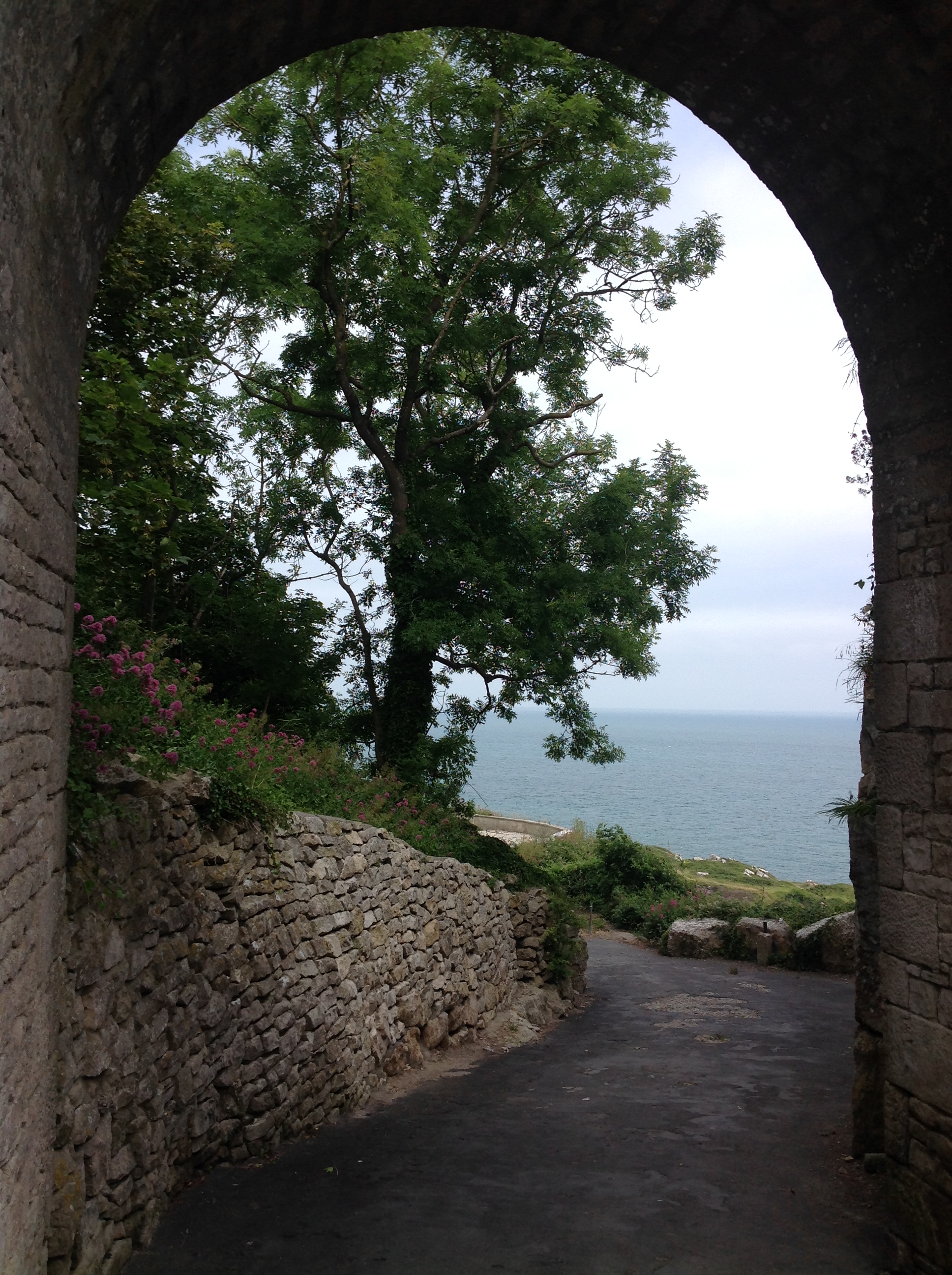
 Church Ope Cove, Easton, 04/07/2014 |
Class31 |
Saturday 5th of July 2014 08:28:52 AM |
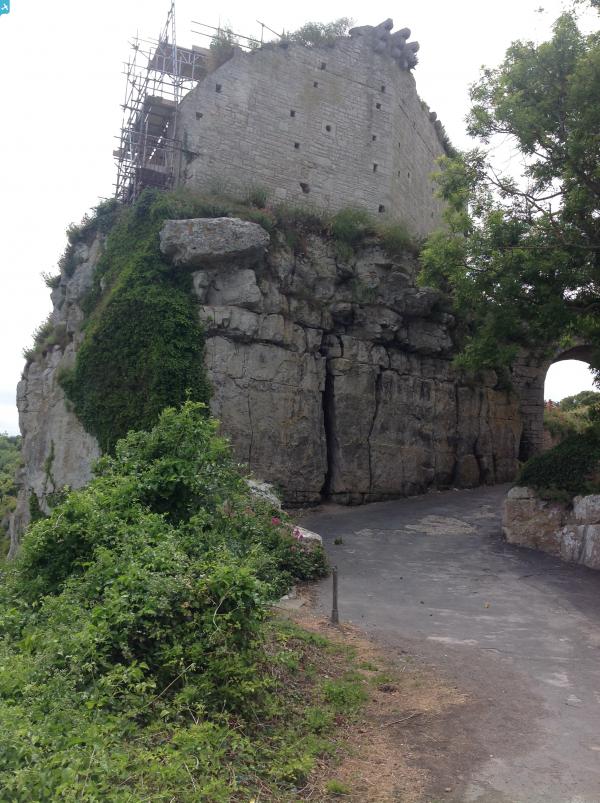
 Rufus Castle, Easton, 04/07/2014 |
Class31 |
Saturday 5th of July 2014 08:27:03 AM |
 Rufus Castle, Easton, 04/07/2014 |
Class31 |
Saturday 5th of July 2014 08:26:31 AM |
 Rufus Castle, Easton, 04/07/2014 |
Class31 |
Saturday 5th of July 2014 08:26:00 AM |


