
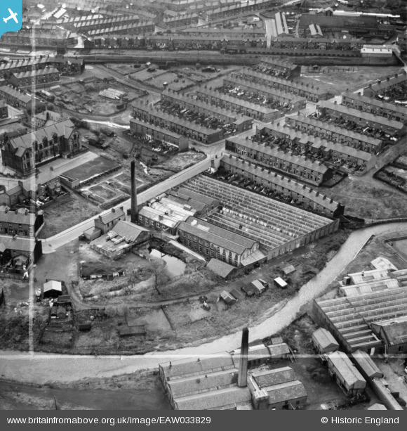
EAW033829 ENGLAND (1950). Primrose Mill, Mill Hill, 1950. This image was marked by Aerofilms Ltd for photo editing.
© Copyright OpenStreetMap contributors and licensed by the OpenStreetMap Foundation. 2024. Cartography is licensed as CC BY-SA.
Nearby Images (6)
EAW033829

EAW033825

EAW033827

EAW033828

EAW033826

EAW033830

Details
| Title | [EAW033829] Primrose Mill, Mill Hill, 1950. This image was marked by Aerofilms Ltd for photo editing. |
| Reference | EAW033829 |
| Date | 16-October-1950 |
| Link | |
| Place name | MILL HILL |
| Parish | |
| District | |
| Country | ENGLAND |
| Easting / Northing | 366652, 426830 |
| Longitude / Latitude | -2.5056092250648, 53.736568016971 |
| National Grid Reference | SD667268 |
Pins
 Matt Aldred edob.mattaldred.com |
Friday 8th of March 2024 06:29:03 PM | |
 powerpop |
Wednesday 4th of March 2020 05:42:27 PM | |
powerpop |
Sunday 15th of July 2018 03:32:24 PM | |
powerpop |
Sunday 15th of July 2018 03:32:04 PM | |
powerpop |
Sunday 15th of July 2018 03:31:05 PM | |
 Sparky |
Thursday 7th of September 2017 09:57:39 AM |


