
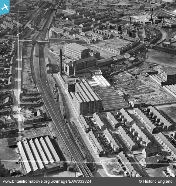
EAW033824 ENGLAND (1950). Waterfall Mills, Mill Hill, 1950. This image was marked by Aerofilms Ltd for photo editing.
© Copyright OpenStreetMap contributors and licensed by the OpenStreetMap Foundation. 2024. Cartography is licensed as CC BY-SA.
Nearby Images (21)
EAW033824

EAW033823

EAW033814

EAW033819

EAW033816

EAW033813

EAW033820

EAW033822

EAW033818

EAW033817

EAW033815

EAW033821

EPW013920

EAW033807

EAW033808

EAW033809

EAW033810

EAW033811

EAW033812

EAW033806

EAW033804

Details
| Title | [EAW033824] Waterfall Mills, Mill Hill, 1950. This image was marked by Aerofilms Ltd for photo editing. |
| Reference | EAW033824 |
| Date | 16-October-1950 |
| Link | |
| Place name | MILL HILL |
| Parish | |
| District | |
| Country | ENGLAND |
| Easting / Northing | 367131, 426779 |
| Longitude / Latitude | -2.4983416978595, 53.736140006391 |
| National Grid Reference | SD671268 |
Pins
 powerpop |
Sunday 29th of January 2017 12:51:36 AM |


