
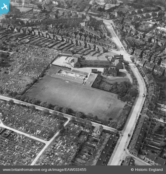
EAW033455 ENGLAND (1950). De La Salle College and Burngreave Cemetery, Pitsmoor, 1950
© Copyright OpenStreetMap contributors and licensed by the OpenStreetMap Foundation. 2024. Cartography is licensed as CC BY-SA.
Nearby Images (4)
EAW033455

EAW033452

EAW033453

EAW033454

Details
| Title | [EAW033455] De La Salle College and Burngreave Cemetery, Pitsmoor, 1950 |
| Reference | EAW033455 |
| Date | 12-October-1950 |
| Link | |
| Place name | PITSMOOR |
| Parish | |
| District | |
| Country | ENGLAND |
| Easting / Northing | 436118, 389511 |
| Longitude / Latitude | -1.4567116951782, 53.400924846874 |
| National Grid Reference | SK361895 |
Pins
 Gabes |
Friday 8th of May 2020 11:03:29 PM | |
redmist |
Monday 14th of January 2019 09:47:25 AM | |
redmist |
Monday 14th of January 2019 09:46:20 AM | |
redmist |
Monday 14th of January 2019 09:44:56 AM |


