
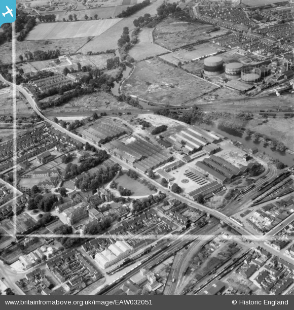
EAW032051 ENGLAND (1950). The Britannia Iron and Steel Works off Kempston Road and environs, Bedford, 1950. This image was marked by Aerofilms Ltd for photo editing.
© Copyright OpenStreetMap contributors and licensed by the OpenStreetMap Foundation. 2024. Cartography is licensed as CC BY-SA.
Nearby Images (23)
EAW032051

EAW032063

EAW032054

EAW032060

EPW045530

EAW032059

EAW032058

EPW045525

EAW032053

EAW032062

EPW026475

EAW032056

EPW045529

EAW032057

EPW045528

EAW032055

EPW045605

EAW032052

EPW022385

EPW046433

EPW046441

EPW045526

EAW032061

Details
| Title | [EAW032051] The Britannia Iron and Steel Works off Kempston Road and environs, Bedford, 1950. This image was marked by Aerofilms Ltd for photo editing. |
| Reference | EAW032051 |
| Date | 23-August-1950 |
| Link | |
| Place name | BEDFORD |
| Parish | |
| District | |
| Country | ENGLAND |
| Easting / Northing | 504535, 249006 |
| Longitude / Latitude | -0.47270175246093, 52.129050910347 |
| National Grid Reference | TL045490 |
Pins
 Greens_Peace |
Tuesday 14th of April 2020 11:05:25 AM | |
 Class31 |
Wednesday 2nd of September 2015 03:31:45 PM | |
 melgibbs |
Monday 16th of March 2015 03:19:29 PM | |
peter |
Sunday 1st of June 2014 05:28:47 PM | |
peter |
Tuesday 27th of May 2014 01:32:36 PM | |
peter |
Tuesday 27th of May 2014 01:28:38 PM | |
melgibbs |
Saturday 26th of April 2014 06:11:09 PM | |
melgibbs |
Saturday 26th of April 2014 06:10:23 PM | |
melgibbs |
Saturday 26th of April 2014 06:08:43 PM | |
melgibbs |
Saturday 26th of April 2014 06:08:21 PM | |
melgibbs |
Saturday 26th of April 2014 06:07:38 PM | |
melgibbs |
Saturday 26th of April 2014 06:07:16 PM | |
melgibbs |
Saturday 26th of April 2014 06:06:22 PM | |
melgibbs |
Saturday 26th of April 2014 06:05:58 PM | |
melgibbs |
Saturday 26th of April 2014 06:05:22 PM | |
melgibbs |
Saturday 26th of April 2014 06:04:49 PM | |
melgibbs |
Saturday 26th of April 2014 06:04:21 PM | |
 |
melgibbs |
Saturday 26th of April 2014 06:03:50 PM |
melgibbs |
Saturday 26th of April 2014 05:56:31 PM | |
melgibbs |
Saturday 26th of April 2014 05:55:47 PM | |
melgibbs |
Saturday 26th of April 2014 05:55:07 PM | |
melgibbs |
Saturday 26th of April 2014 05:53:48 PM | |
melgibbs |
Saturday 26th of April 2014 05:52:14 PM | |
melgibbs |
Saturday 26th of April 2014 05:51:07 PM |
User Comment Contributions
There are some notes about the Britannia Works at: http://virtual-library.culturalservices.net/webingres/bedfordshire/vlib/0.digitised_resources/bedford_trades_britannia_works_article.htm. |
melgibbs |
Monday 16th of March 2015 03:16:26 PM |


