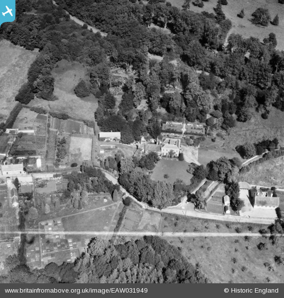
EAW031949 ENGLAND (1950). Knoyle Place and the surrounding area, East Knoyle, 1950. This image was marked by Aerofilms Ltd for photo editing.
© Copyright OpenStreetMap contributors and licensed by the OpenStreetMap Foundation. 2024. Cartography is licensed as CC BY-SA.
Nearby Images (8)
EAW031949

EAW031946

EAW031948

EAW031944

EAW031945

EAW031947

EAW031943

EAW032036

Details
| Title | [EAW031949] Knoyle Place and the surrounding area, East Knoyle, 1950. This image was marked by Aerofilms Ltd for photo editing. |
| Reference | EAW031949 |
| Date | 17-August-1950 |
| Link | |
| Place name | EAST KNOYLE |
| Parish | EAST KNOYLE |
| District | |
| Country | ENGLAND |
| Easting / Northing | 387825, 130513 |
| Longitude / Latitude | -2.1737988059032, 51.073282071818 |
| National Grid Reference | ST878305 |
Pins
Be the first to add a comment to this image!