
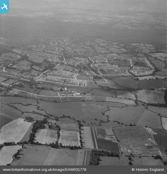
EAW031778 ENGLAND (1950). The Debden Estate under construction, Loughton, 1950
© Copyright OpenStreetMap contributors and licensed by the OpenStreetMap Foundation. 2024. Cartography is licensed as CC BY-SA.
Nearby Images (7)
EAW031778

EAW031776

EAW031784

EAW031777

EAW031781

EAW031785

EAW049302
, Loughton, 1953. This image was marked by Aerofilms Ltd for photo editing.")
Details
| Title | [EAW031778] The Debden Estate under construction, Loughton, 1950 |
| Reference | EAW031778 |
| Date | 4-August-1950 |
| Link | |
| Place name | LOUGHTON |
| Parish | LOUGHTON |
| District | |
| Country | ENGLAND |
| Easting / Northing | 544495, 196493 |
| Longitude / Latitude | 0.088764272614088, 51.648172894648 |
| National Grid Reference | TQ445965 |


