
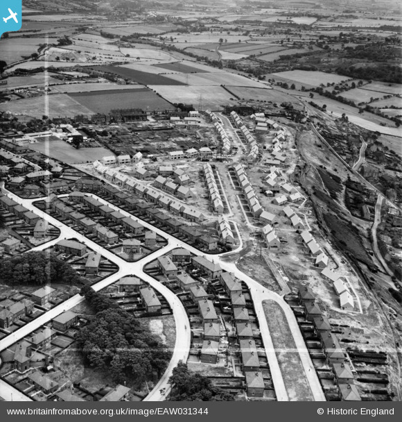
EAW031344 ENGLAND (1950). New houses along Edge Avenue, Thornhill Edge, 1950. This image was marked by Aerofilms Ltd for photo editing.
© Copyright OpenStreetMap contributors and licensed by the OpenStreetMap Foundation. 2024. Cartography is licensed as CC BY-SA.
Nearby Images (8)
EAW031344

EAW031345

EAW031351

EAW031348

EAW031349

EAW031347

EAW031346

EAW031350

Details
| Title | [EAW031344] New houses along Edge Avenue, Thornhill Edge, 1950. This image was marked by Aerofilms Ltd for photo editing. |
| Reference | EAW031344 |
| Date | 26-July-1950 |
| Link | |
| Place name | THORNHILL EDGE |
| Parish | |
| District | |
| Country | ENGLAND |
| Easting / Northing | 424768, 418322 |
| Longitude / Latitude | -1.6251538750751, 53.660568045534 |
| National Grid Reference | SE248183 |
Pins
Be the first to add a comment to this image!


