
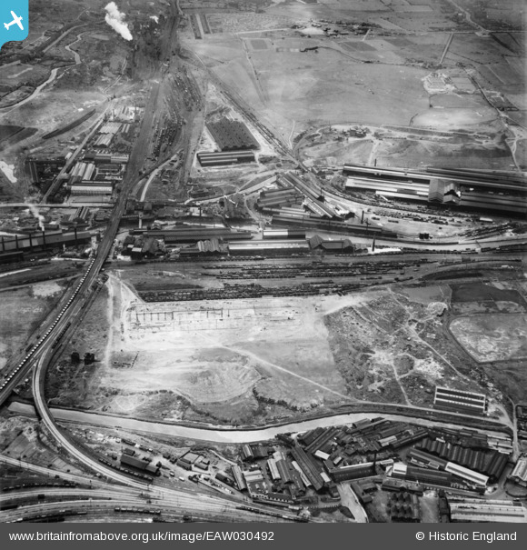
EAW030492 ENGLAND (1950). The Steel, Peech and Tozer Ickes Steel Works, adjacent railway sidings and environs, Ickles, 1950
© Copyright OpenStreetMap contributors and licensed by the OpenStreetMap Foundation. 2024. Cartography is licensed as CC BY-SA.
Nearby Images (19)
EAW030492

EAW030486

EPW041697

EPW015446

EPW041699

EAW030485

EAW025968

EAW025974

EAW025970

EAW030488

EAW029399

EPW015445

EAW030487

EPW041696

EPW041698

EPW048728

EAW030489

EAW025971

EAW024147

Details
| Title | [EAW030492] The Steel, Peech and Tozer Ickes Steel Works, adjacent railway sidings and environs, Ickles, 1950 |
| Reference | EAW030492 |
| Date | 23-June-1950 |
| Link | |
| Place name | ICKLES |
| Parish | |
| District | |
| Country | ENGLAND |
| Easting / Northing | 441593, 391932 |
| Longitude / Latitude | -1.3740421311121, 53.422284294572 |
| National Grid Reference | SK416919 |
Pins
Be the first to add a comment to this image!


