
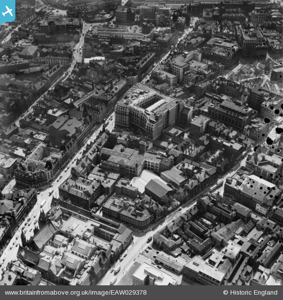
EAW029378 ENGLAND (1950). Corporation Street, Richard Lunt & Co Ltd Premises and environs, Birmingham, 1950. This image has been produced from a damaged negative.
© Copyright OpenStreetMap contributors and licensed by the OpenStreetMap Foundation. 2024. Cartography is licensed as CC BY-SA.
Nearby Images (33)
EAW029378

EAW029380

EAW029379

EAW029374

EAW029382

EAW029419

EAW036922

EAW029377

EAW029381

EAW036920

EPW037055

EAW029417
, Snows Hill Station and environs, Birmingham, from the east, 1950")
EAW029383

EAW036919

EAW036923

EAW036924

EAW029375

EAW029376

EAW036925

EAW036918

EAW036921

EAW036926

EAW029418

EAW013571

EPW041473

EAW013570

EAW013572

EAW026255

EAW013573

EPW005856

EAW013567

EAW029414

EPW053091

Details
| Title | [EAW029378] Corporation Street, Richard Lunt & Co Ltd Premises and environs, Birmingham, 1950. This image has been produced from a damaged negative. |
| Reference | EAW029378 |
| Date | 10-May-1950 |
| Link | |
| Place name | BIRMINGHAM |
| Parish | |
| District | |
| Country | ENGLAND |
| Easting / Northing | 407215, 287177 |
| Longitude / Latitude | -1.8937472025365, 52.482099055406 |
| National Grid Reference | SP072872 |
Pins
 Martin |
Tuesday 18th of February 2014 07:00:59 PM |


