
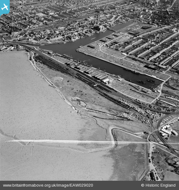
EAW029020 ENGLAND (1950). Alexandra Dock, Grimsby, 1950. This image was marked by Aerofilms Ltd for photo editing.
© Copyright OpenStreetMap contributors and licensed by the OpenStreetMap Foundation. 2024. Cartography is licensed as CC BY-SA.
Nearby Images (5)
EAW029020

EAW029018

EAW029019

EAW029022

EAW029017

Details
| Title | [EAW029020] Alexandra Dock, Grimsby, 1950. This image was marked by Aerofilms Ltd for photo editing. |
| Reference | EAW029020 |
| Date | 10-May-1950 |
| Link | |
| Place name | GRIMSBY |
| Parish | |
| District | |
| Country | ENGLAND |
| Easting / Northing | 526653, 410778 |
| Longitude / Latitude | -0.08683095880507, 53.57804187842 |
| National Grid Reference | TA267108 |


