
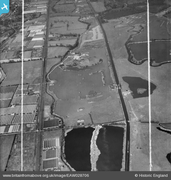
EAW028706 ENGLAND (1950). Gravel workings along the River Lea (or Lee) Navigation, Cheshunt, 1950. This image was marked by Aerofilms Ltd for photo editing.
© Copyright OpenStreetMap contributors and licensed by the OpenStreetMap Foundation. 2024. Cartography is licensed as CC BY-SA.
Nearby Images (3)
EAW028706
 Navigation, Cheshunt, 1950. This image was marked by Aerofilms Ltd for photo editing.")
EAW028701
 Navigation, Cheshunt, 1950. This image was marked by Aerofilms Ltd for photo editing.")
EAW028702
 Navigation, Cheshunt, 1950. This image was marked by Aerofilms Ltd for photo editing.")
Details
| Title | [EAW028706] Gravel workings along the River Lea (or Lee) Navigation, Cheshunt, 1950. This image was marked by Aerofilms Ltd for photo editing. |
| Reference | EAW028706 |
| Date | 20-April-1950 |
| Link | |
| Place name | CHESHUNT |
| Parish | |
| District | |
| Country | ENGLAND |
| Easting / Northing | 536953, 203211 |
| Longitude / Latitude | -0.017552259206189, 51.710434528583 |
| National Grid Reference | TL370032 |
Pins
Be the first to add a comment to this image!


