
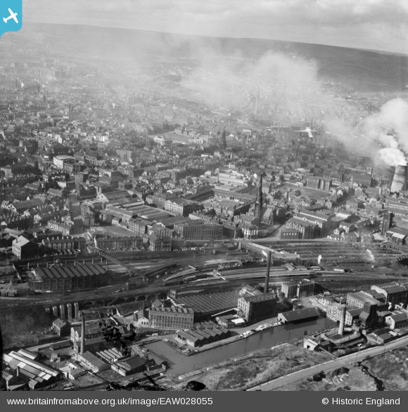
EAW028055 ENGLAND (1950). Halifax Old Station, surrounding mills and the town, Halifax, from the east, 1950
© Copyright OpenStreetMap contributors and licensed by the OpenStreetMap Foundation. 2024. Cartography is licensed as CC BY-SA.
Nearby Images (7)
EAW028055

EPW036888

EPW036886

EPW036885

EPW036887

EAW028057

EPW057282

Details
| Title | [EAW028055] Halifax Old Station, surrounding mills and the town, Halifax, from the east, 1950 |
| Reference | EAW028055 |
| Date | 21-February-1950 |
| Link | |
| Place name | HALIFAX |
| Parish | |
| District | |
| Country | ENGLAND |
| Easting / Northing | 409739, 424850 |
| Longitude / Latitude | -1.8524005783907, 53.719745144868 |
| National Grid Reference | SE097249 |
Pins
 John W |
Monday 21st of November 2016 09:45:18 PM |


