
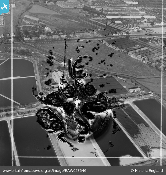
EAW027646 ENGLAND (1949). Lea Bridge Pumping Station, Lea Bridge, 1949. This image has been produced from a damaged negative.
© Copyright OpenStreetMap contributors and licensed by the OpenStreetMap Foundation. 2024. Cartography is licensed as CC BY-SA.
Nearby Images (17)
EAW027646

EAW027647

EAW027644

EAW027643

EAW027642

EAW027645

EAW027650

EAW027648

EAW043554

EAW027652

EAW027649

EPW051980

EPW051547
, Lea Bridge, 1936")
EAW027651

EPW051549
, Lea Bridge, 1936")
EPW051545
, Lea Bridge, 1936")
EPW051546
, Lea Bridge, 1936")
Details
| Title | [EAW027646] Lea Bridge Pumping Station, Lea Bridge, 1949. This image has been produced from a damaged negative. |
| Reference | EAW027646 |
| Date | 14-November-1949 |
| Link | |
| Place name | LEA BRIDGE |
| Parish | |
| District | |
| Country | ENGLAND |
| Easting / Northing | 536186, 186805 |
| Longitude / Latitude | -0.035032326100442, 51.563180767749 |
| National Grid Reference | TQ362868 |
Pins
 Dank |
Sunday 22nd of November 2020 04:44:45 PM | |
Dank |
Friday 24th of April 2020 07:37:11 PM | |
Dank |
Friday 24th of April 2020 07:36:13 PM | |
Dank |
Friday 24th of April 2020 07:35:20 PM | |
Dank |
Friday 24th of April 2020 07:34:43 PM | |
Dank |
Friday 24th of April 2020 07:34:18 PM |


