
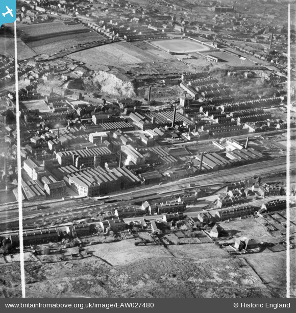
EAW027480 ENGLAND (1949). Woollen Mills surrounding Bradford Road East and the Batley Cricket, Athletic and Football Grounds, Batley, 1949. This image was marked by Aerofilms Ltd for photo editing.
© Copyright OpenStreetMap contributors and licensed by the OpenStreetMap Foundation. 2024. Cartography is licensed as CC BY-SA.
Nearby Images (12)
EAW027480

EAW027474

EAW027479

EAW027483

EAW027473

EAW027477

EAW027481

EAW027475

EAW027478

EAW027476

EAW027482

EAW027472

Details
| Title | [EAW027480] Woollen Mills surrounding Bradford Road East and the Batley Cricket, Athletic and Football Grounds, Batley, 1949. This image was marked by Aerofilms Ltd for photo editing. |
| Reference | EAW027480 |
| Date | 27-October-1949 |
| Link | |
| Place name | BATLEY |
| Parish | |
| District | |
| Country | ENGLAND |
| Easting / Northing | 424558, 423008 |
| Longitude / Latitude | -1.6279609625667, 53.702700398808 |
| National Grid Reference | SE246230 |
Pins
 Cabby |
Thursday 17th of November 2016 06:00:00 AM | |
Cabby |
Thursday 17th of November 2016 05:58:54 AM | |
 HOLMES |
Tuesday 29th of September 2015 01:07:40 PM | |
Cabby |
Friday 17th of April 2015 08:46:27 AM | |
Cabby |
Friday 21st of February 2014 08:28:33 PM | |
Cabby |
Friday 21st of February 2014 07:59:01 PM | |
Cabby |
Friday 21st of February 2014 07:54:43 PM | |
Cabby |
Friday 21st of February 2014 07:52:55 PM | |
Cabby |
Friday 21st of February 2014 07:52:21 PM | |
countrylover |
Monday 17th of February 2014 04:54:05 PM | |
countrylover |
Monday 17th of February 2014 04:52:26 PM |


